An Easy Trail Run in Atlanta
Are you an aspiring new trail runner? Concerned about rocks, roots, water crossings, and steep climbs? Don’t be, there’s a great trail in the Atlanta area that offers a gentle introduction to trail running – the Kolb Farm Loop (5.5 miles) in the southern end of the Kennesaw Mountain National Battlefield Park.
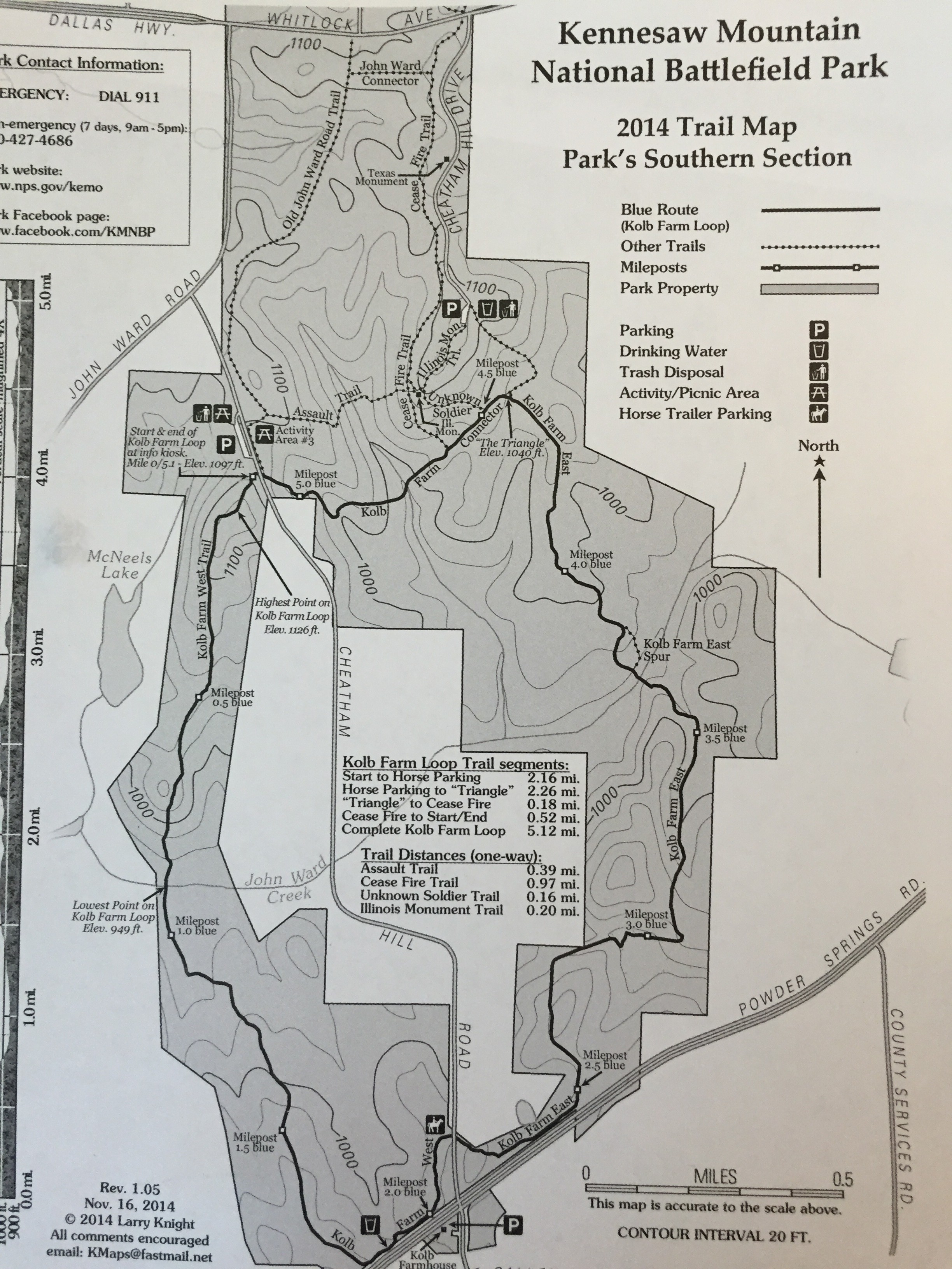
Kennesaw Mountain National Battlefield Park – South Trail Map (2014)
If you’re new to the area, you may want to start your visit at the official visitor’s center at the very north end of the park. There you’ll find maps, water, restrooms, and everything you need to plan your trip. We started our journey at the parking area near Activity Area 3 on Cheatham Hill road. Be advised that there is no water or restrooms near this parking area, but there are picnic tables and trash cans.
The trailhead directly across the street in the activity field is for the Old John Ward Road Trail and the Assault Trail (also nice, shorter trails). For the Kolb Farm trail, make your way to the southern end of the parking area and you’ll see a short connector trail that parallels the road and takes you to the start/finish for the Kolb Farm loop.
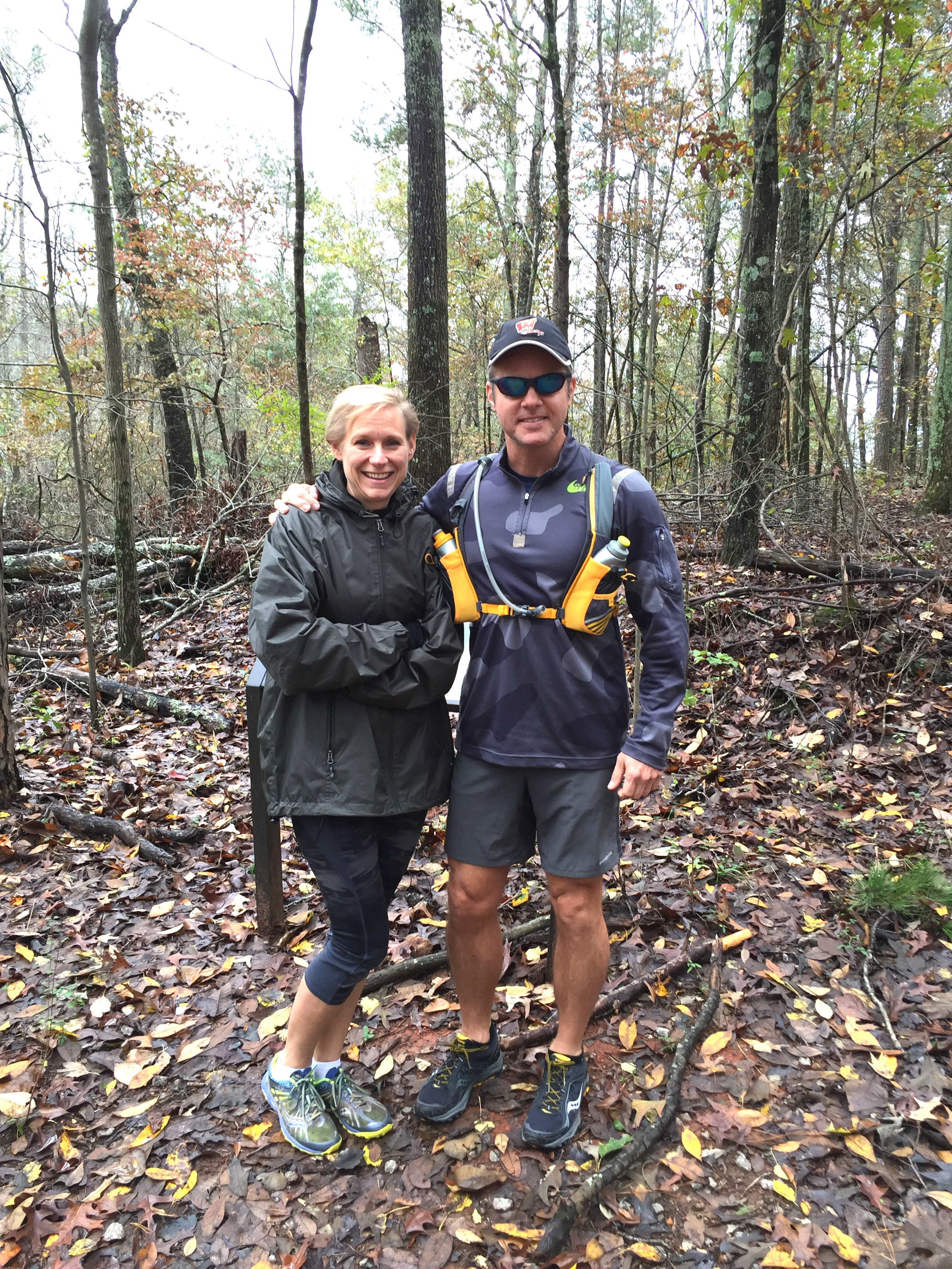
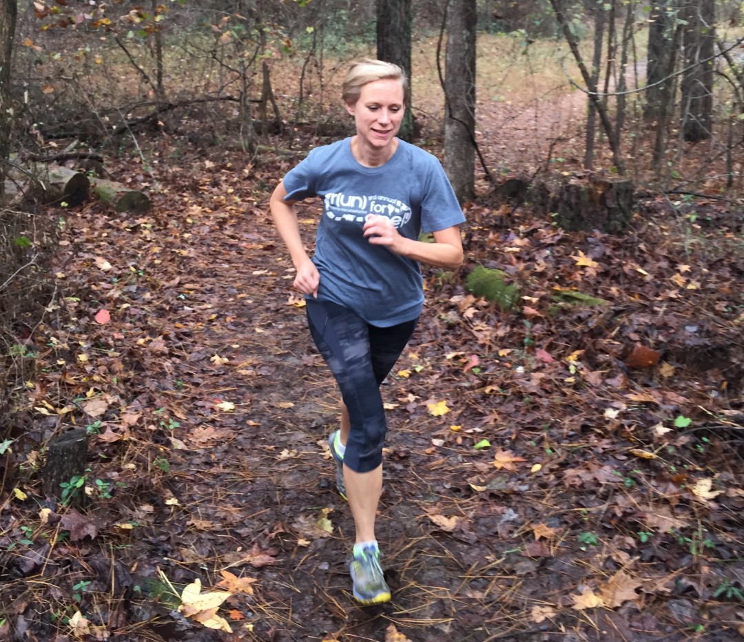
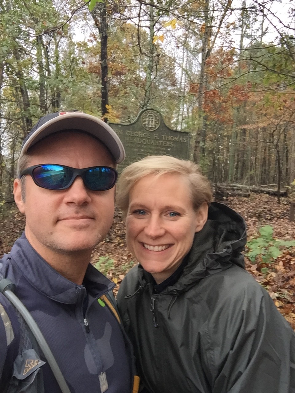
Mary Catherine and Joe at the trailhead for the West Kolb Farm trail
The Kolb Farm loop is split into an East and West half. We decided to tackle the West Kolb Loop first, so I’ll describe the trail from that direction. The trail itself is a very well-maintained old road bed making it very kind to beginning trail runners. The trail starts on high ground, so the first mile is almost all down hill either way you go – east or west. There are supposedly blue blazes on the trail, but we didn’t see many. We did see mile markers every half mile, which was nice. The trail is so well maintained, you can’t get lost. Every intersection is well marked with signs.
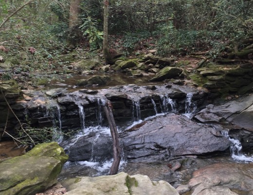
Once you descend the high ground, the trail follows a nice rolling course that heads south as it makes it’s way to Kolb Farm at the very southern end of the park. If you started on the West side like we did, then just before the 1 mile mark you’ll cross John Ward creek, which is the lowest point on the trail. All water crossings have bridges – but be advised that if it has rained recently, then the trail will be muddy in patches – as it was for us.
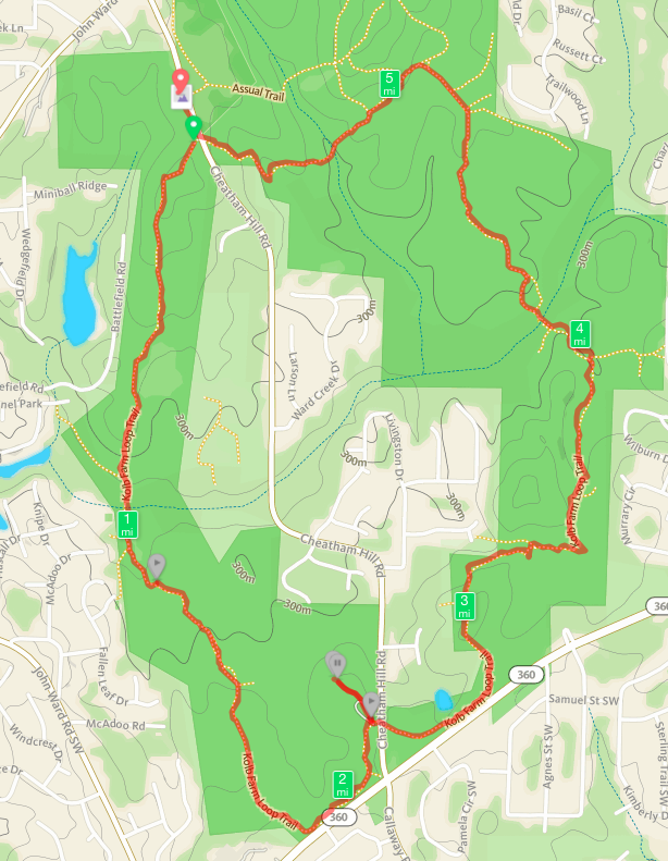
The actual route we followed on the Kolb Farm loop trail as tracked by the GPS
Just before the 2 mile marker, you’ll come straight upon Powder Springs Rd., where the trail makes an abrupt turn to the northeast. Right after that sharp turn and just before the 2 mile marker you’ll see a water fountain that seems to pop up out of nowhere. That’s the only drinking water on the trail – drink up! The fountain has a doggie fountain like most of the water fountains in the park so Fido can get a drink too. You can see the Kolb Farm house across the street, which sits at the busy intersection of Cheatham Hill Road and Powder Springs Road. There is parking at the farm house, so you could start your loop run from that location.
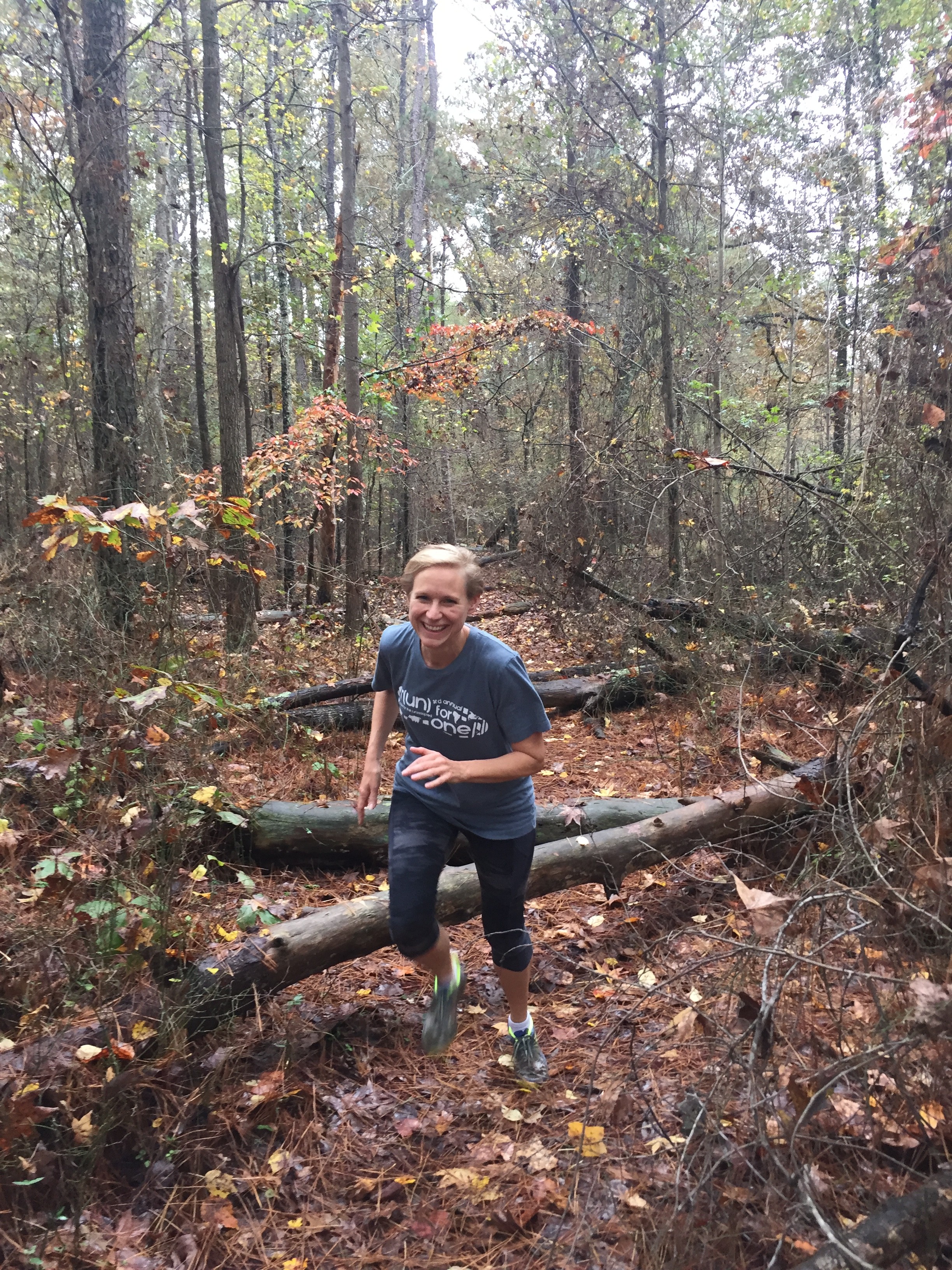
Mary Catherine navigating fallen logs that were NOT part of the official trail
Just about a quarter mile north on the trail is a small parking area shown on the trail map as a horse trailer parking area. We did get a little confused here so learn from our mistake. You’ll want to follow the hiker sign and cross Cheatham Hill Road to the other side. We went into the parking/turn-around loop, headed northwest, got on what we thought was the trail and quickly ran out of trail. On the left is a picture of Mary Catherine trying to navigate the fallen logs on this “non-trail”. Pro tip – if you’re on a trail and it quickly changes so that it doesn’t look like the rest of the trail then it’s probably not the trail! We discovered our mistake and went back to cross the road.
Once you cross Cheatham Hill Road, you’re on the East Kolb Farm Trail and will parallel Powder Springs Road again for a little bit before working your way due north around mile 2.5. A quarter mile later you’ll head east, then head north again just before mile 3. The trail winds up, down, and around rolling hills. After mile marker 3.5 you’ll descend for a quarter mile until you cross John Ward again. From there you’ve got a three quarters of a mile gentle climb up to “The Triangle” which is a high point with some connector trails. Just before the 4.5 mile marker is a trail that heads due north to the Illinois Monument atop Cheatham Hill. Also near the area are some trenches and battle lines that are well preserved.

Grave of the Unknown Soldier at Kennesaw Mountain
Worth a visit is a very short spur trail along the trench line that leads to the Unknown Soldier grave. Take a moment to stop and think about the significance of this area. There are many connector trails in the area, all are well marked. The Cease Fire trail heads north to other park trails. The Illinois Mountain Trail to the northeast heads straight up Cheatham Hill and gives you another opportunity to see that incredible battlefield. The Assault Trail is the most direct route to the Activity Field across the street from where you started. We continued along the East Kolb Farm Trail which heads due west.
The trail dips down across another creek, then starts the final climb near the end. You’ll past mile marker 5 near the top and you’re almost back to the parking lot. Passing by a house, there’s a sharp turn up and to the right and you’re be back at Cheatham Hill Road, directly across from where you started. Depending upon when you visit, the street can be busy, so be careful. There is a crosswalk caution light you can trigger to make passage safer. Once safely across the street, take the short connector path adjacent to the road back to the parking area. Well done!
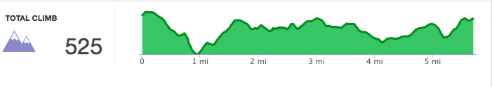
Elevation profile of the Kolb Farm Loop Trail at Kennesaw
Various maps and online documents show the total Kolb Farm Loop trail distance to be 5.2 – 5.5 miles. Our own GPS showed the distance to be closer to 5.5 miles. We really enjoyed the trail because it was well marked, non-technical, very well maintained, and offered lots of history. If you’re mostly a road runner who wants a nice sample of a non-technical trail, we highly recommend the Kolb Farm loop at Kennesaw.
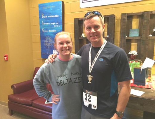
Joe and Mary Catherine near the start/end point of the Kolb Farm loop at Kennesaw